- Home
- Trails
- Gloucester
- Rafe's Chasm
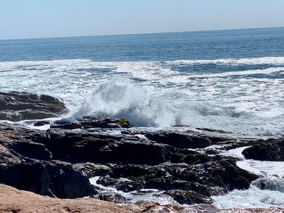
Rafe's Chasm, ~10 Ac.Permanently protected by the City of Gloucester. Trail Difficulty: Easy to Moderate Length: Rafe’s Chasm Park was sold by the Trustees of Reservation in 1959 to the City of Gloucester for one dollar. This 10 acre park runs from Hesperus Avenue to the rock along the shoreline, with views of Norman’s Woe rock to the northeast and Kettle Island to the southwest. Rafe’s Chasm is located on private land about fifty yards outside of Rafe’s Chasm Park. PLEASE OBSERVE ALL “PRIVATE PROPERTY” POSTINGS. Originally identified as Rafe’s Crack, this large rock fissure was finally noted as Rafe’s Chasm on maps beginning in the 1850s. It is said that the name comes from a freed slave named Ralph who settled near the Chasm and built many of the rock walls that remain along HesperusAvenue. Visiting the chasm became a popular tourist attraction after the Civil War. Sources: Text: Magnolia: A Brief History by Lisa Peek Ramos. | Parking & AccessTo access the Rafe's Chasm Park, it is best to park at the Magnolia Woods parking area and hike in for a spectacular ocean view.
|

