- Home
- Trails
- Gloucester
- Haskell Pond
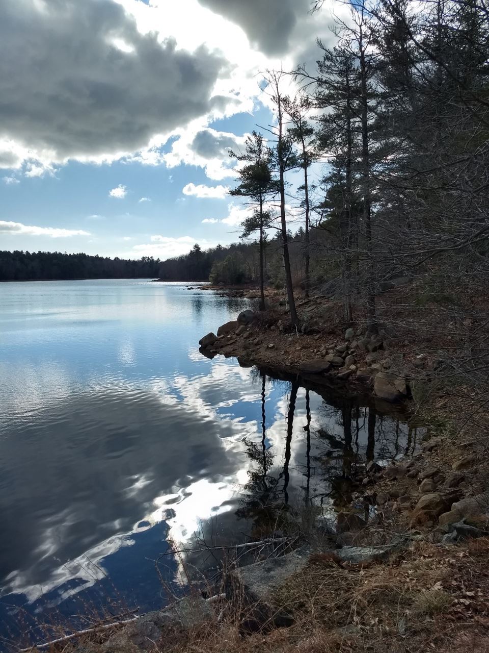
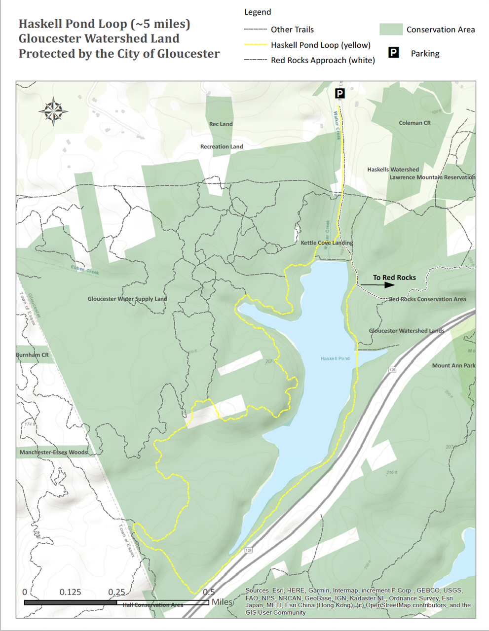
Haskell Pond LoopPermanently protected by the City of Gloucester. Trail Difficulty: Easy to Moderate Length: 4.2 Miles Elevation: 250 feet Description: This hike takes you around the City of Gloucester’s Haskell Pond Reservoir and along an old public road that parallels Route 128. Directions: Walk to your left from the kiosk and follow the yellow diamond-shaped markers along the gravel access road to the dam, approximately 4 tenths of a mile. As you approach the dam, look to your right along the edge of the woods for a trail head with yellow markers. The trail looks unlikely crossing large tumbled rocks at the base of a large spillway. This 1.9 mile section of the loop is narrow and very hilly, with many rock outcrops that may be slippery. This trail dead ends at a woods road. Go left onto this road and follow the yellow markers for 3 tenths of a mile to the old public road. Go left on the old public road and follow the yellow markers 1.2 miles back to the dam. Follow the gravel access road 4 tenths of a mile back to the kiosk and parking.
| Parking & AccessTo access Haskell Pond Loop, park off Forest Lane, just to the north of the reservoir.
|